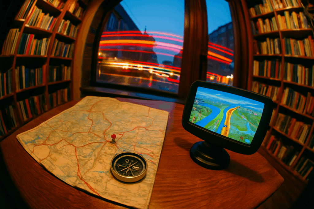
If you’ve ever stood at a trail junction wondering whether to trust your handheld device or unfold a paper map, you’re not alone. The debate around gps vs traditional navigation isn’t just about convenience—it’s about reliability, safety, and self-reliance in the wild. Whether you’re planning a backcountry expedition or refining your wilderness skills, understanding the strengths and limitations of each method can make the difference between a confident journey and a costly mistake.
This article breaks down how GPS technology and traditional tools like map and compass perform in real-world outdoor scenarios. We examine signal limitations, battery dependency, terrain challenges, and the practical skills required for each approach. Drawing on field-tested navigation practices, survival training principles, and insights from experienced backcountry navigators, this guide will help you choose the right system—or combination—for your next adventure. By the end, you’ll know exactly when to rely on satellites and when to trust your compass.
Every hiker knows the chill of an unmarked fork. When the app’s blinking dot hesitates, confidence wavers. Understanding gps vs traditional navigation gives you options, not anxiety.
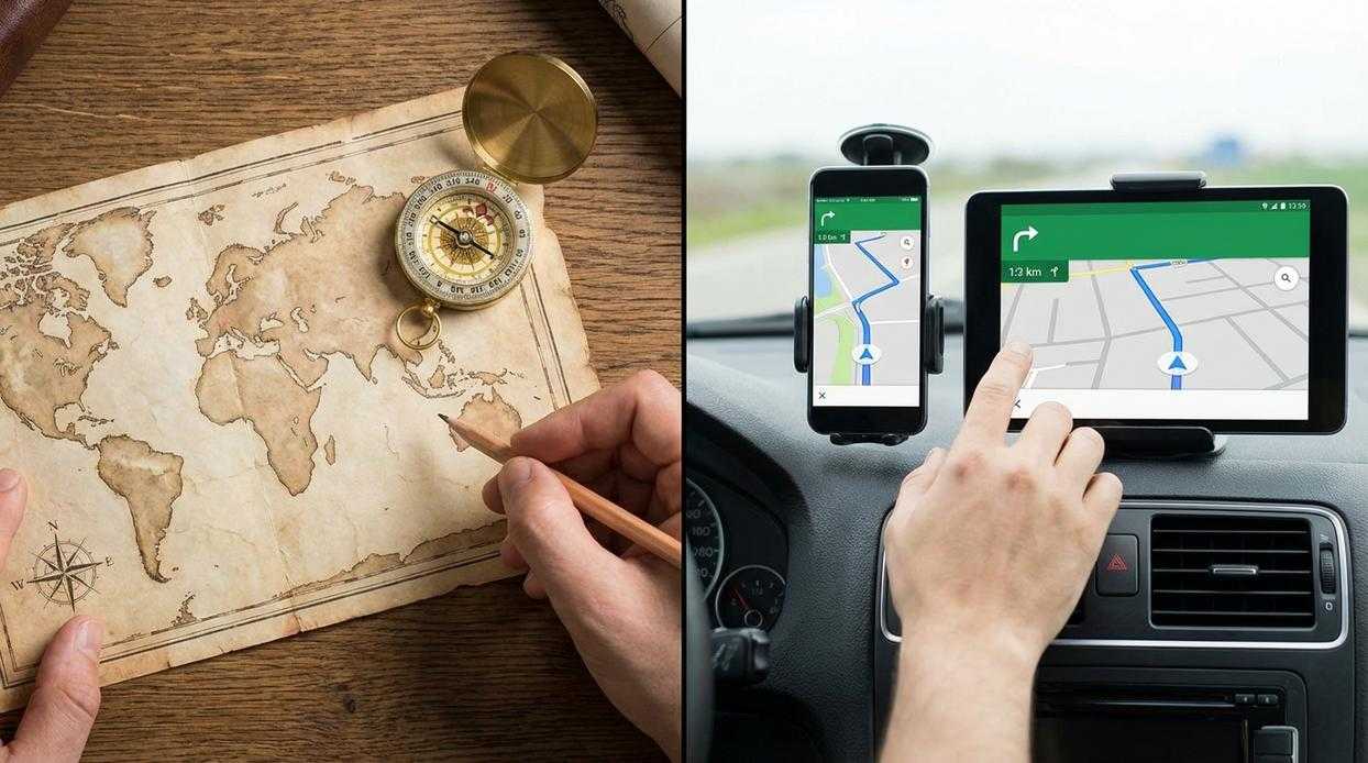
Modern GPS delivers speed, real-time positioning, and easy rerouting—perfect for sudden weather shifts. Map and compass, meanwhile, build spatial awareness and work without batteries.
| Tool | Key Benefit |
| GPS | Instant coordinates |
| Map & Compass | Fail-proof reliability |
By integrating both, you gain resilience, sharper judgment, and backup security. Think of it like carrying a spare tire—you hope you won’t need it, but you’re grateful when you do. Mastering both ensures you navigate smarter, safer, and with the calm confidence seasoned explorers rely on. Every single time.
How does that little blue dot know exactly where you are? A GPS receiver listens for signals from satellites orbiting high above Earth. Each satellite broadcasts a timestamp and its position. Your device compares when the signal was sent to when it was received, calculating distance by measuring travel time. By combining distances from at least four satellites, it triangulates your precise spot on the planet. No maps in space, just math and timing.
The biggest win is speed and convenience. Open the app, and you get real-time tracking, instant route calculation, and clear turn-by-turn prompts. Even beginners can navigate confidently without unfolding a paper map in the wind. Compared to gps vs traditional navigation, the learning curve feels almost nonexistent (no compass-spinning required).
Accuracy is another payoff. Modern units can pinpoint you within a few meters, according to the U.S. Space Force, which manages GPS. Many devices include pre-loaded topographical maps, elevation profiles, and tools to record tracks and mark waypoints. That means you can
- log fitness metrics
- save campsites or water sources
- retrace your steps if weather shifts.
Best of all, you gain confidence. Day hikes on well-marked trails, geocaching adventures, and quick route checks become faster and less stressful. Pro tip: download maps offline before you lose signal. When speed, clarity, and ease-of-use matter, GPS turns uncertainty into direction (like having a digital trail guide in your pocket). You spend less time guessing and more time exploring what actually matters outdoors. Safely, efficiently, and confidently every time.
When Screens Go Dark: The Limits of GPS
The Achilles’ Heel – Battery Dependency
Every GPS device runs on a simple requirement: power. Cold weather drains lithium-ion batteries rapidly—capacity can drop 20–50% below freezing (Battery University). In the backcountry, that means a fully charged phone at dawn can be a dead slab of glass by dusk. No battery, no blue dot. External battery packs help, but they add weight and require their own charge management (pro tip: store electronics close to your body in winter).
Signal & Environmental Failure
GPS relies on satellite signals reaching your receiver. Dense tree cover, steep canyon walls (“canyon bounce,” where signals reflect and distort), and heavy storms can degrade accuracy by several meters—or more. During severe solar storms, geomagnetic interference can disrupt satellite signals entirely (NOAA). That’s when gps vs traditional navigation stops being theoretical and becomes urgent.
Durability & Cost
Smartphones aren’t built for repeated drops, submersion, or extreme heat. Ruggedized GPS units offer IPX7 waterproofing and reinforced casings—but cost significantly more. You’re paying for survivability, not just maps.
The Danger of Skill Atrophy
Over-reliance breeds complacency. When screens guide every turn, situational awareness fades. A paper map forces terrain reading and landmark recognition—skills that matter when devices fail. That’s why reviewing planning a safe route key navigation checks before you hike remains essential. Technology is powerful. It’s just not infallible.
Mastering the Map and Compass: The Analog Advantage
A topographic map is more than paper; it’s a scaled model of reality. Contour lines show elevation changes, measured in intervals that reveal slope steepness at a glance. Symbols mark water sources, trails, vegetation, and man‑made features, while a legend decodes them. Paired with a baseplate compass, you gain a transparent ruler, rotating bezel, orienting lines, and a magnetic needle that aligns with Earth’s field. Set a bearing— a fixed direction measured in degrees— and you can walk it with precision.
Their unfailing reliability is the headline feature. No batteries, no signal, no software updates. In subzero cold or desert heat, they simply work. Search and Rescue teams still carry them as fail‑safes, because electronics can fail when dropped or soaked. That edge matters in the gps vs traditional navigation debate.
A paper map also delivers the big picture. You see entire ridgelines, drainage systems, and exit routes at once, enabling smarter macro‑level decisions. Instead of reacting turn by turn, you anticipate terrain. (It’s the difference between watching a movie trailer and reading the whole script.)
Finally, these tools build real skill. You practice orienting the map, triangulating your position, and interpreting landforms like saddles and spurs. That active engagement strengthens situational awareness and confidence. Pro tip: declination— the angle between magnetic and true north— should be adjusted before every trip. Master these, and the wilderness feels navigable, not mysterious. Confidence replaces anxiety when technology inevitably lets you down in critical moments.
The learning curve of traditional navigation is steeper than most people admit. Mastery demands understanding declination, plotting bearings, reading contour lines, and constantly recalculating position. These are perishable skills; ignore them for a season and rust shows fast (like forgetting high school algebra).
Compared with gps vs traditional navigation, paper systems are slower and mentally heavier. Triangulating a fix in wind or rain tests patience, and low light demands a headlamp.
• High winds flip maps.
• Wet pages blur ink.
Pro tip: laminate maps and rehearse quarterly to stay sharp. Even so, efficiency gaps remain undeniable, disciplined practitioners thrive.
The Hybrid Navigator: Why You Need Both Systems
The real debate isn’t gps vs traditional navigation; it’s how to blend them. First, use GPS as your primary tool for speed, live tracking, and layered data (it’s like having mission control in your pocket). However, batteries die, signals fade, and screens crack. That’s where a map and compass come in—analog tools that don’t crash.
Looking ahead, it’s reasonable to speculate that navigation tech will grow smarter, maybe even predictive. Still, overreliance breeds fragility.
So, carry both. More importantly, practice both. Your GPS is convenience; your map is lifeline. Train now before the wilderness tests your assumptions. When it matters.
As we weigh the advantages of GPS devices against traditional navigation tools, it’s worth considering how both methods can be utilized when embarking on adventures to lesser-known areas, like uncovering the mysteries of how deep Lake Yiganlawi truly is – for more details, check out our How Deep Is Lake Yiganlawi.
Mastering the Wild with Confidence
You set out to understand how to navigate smarter and safer in the backcountry — and now you have the clarity to do exactly that. From breaking down gps vs traditional navigation to sharpening practical wilderness skills, you’ve seen how the right knowledge can mean the difference between confidence and costly mistakes on the trail.
Getting lost isn’t just inconvenient — it’s dangerous. Dead batteries, signal failures, or poor route planning can turn a simple outing into a survival situation. That’s why blending modern tools with time-tested navigation skills isn’t optional for serious adventurers. It’s essential.
Now it’s your move. Start practicing your compass work, test your GPS under real conditions, and refine your route-planning process before your next trip. If you want trusted, field-tested guidance and no-nonsense gear insights relied on by serious outdoor enthusiasts, explore our latest resources and trail-tested reviews today.
Don’t wait until you’re off course to wish you were better prepared. Equip yourself, sharpen your skills, and head into the wild ready for anything.