Ever been on a trail and suddenly felt that gut punch of realizing you might be lost? I’ve been there. Picking the right navigation tools can be a nightmare, and choosing wrong is dangerous.
I’ve clocked countless hours in the dirt, navigating tricky, off-trail routes. Trust me, you can’t afford to mess this up. This guide will cut through the noise, offering a clear breakdown of important tools.
Whether it’s a classic map and compass or modern navigation apps hikers love, you’ll get a foolproof system. Ready to never get lost again? You’re in the right place.
Let’s get started.
The Bedrock: Analog Tools That Never Fail
Digital age, sure. But when it comes to hiking, map and compass are your lifeline. These aren’t relics.
They’re the ground truth. Your phone dies, but these never will. So what do you look for in a topo map?
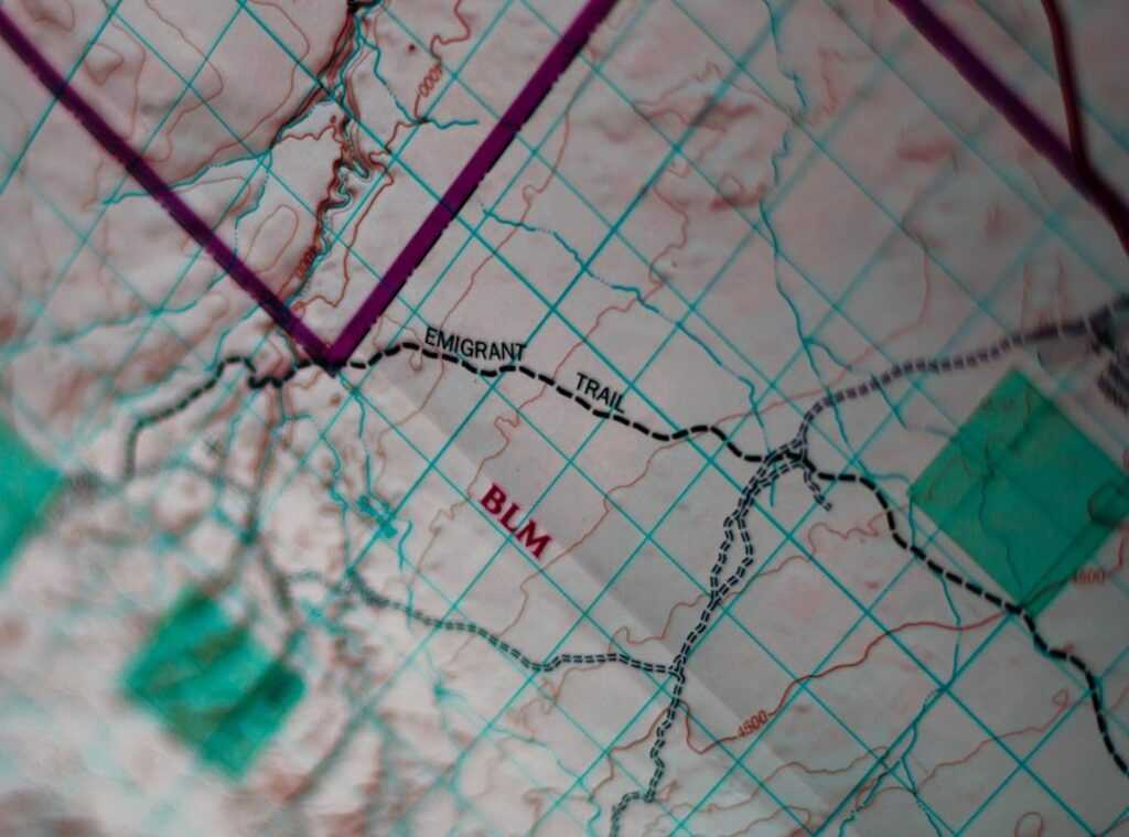
First, check the scale. You want detail, not a vague outline. Contour lines are your friend.
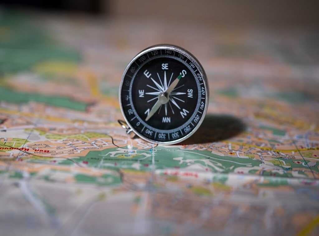
Now, let’s talk compasses. A good baseplate compass isn’t just a needle in a case. You need declination adjustment.
They tell you what the land looks like without needing to see it. Also, don’t grab something outdated. Check the publication date.
Why? Because magnetic north isn’t true north. If you’re off by a few degrees, you could end up miles away from your target.
A sighting mirror helps with precision. Ever tried shooting a bearing without one? It’s like playing darts blindfolded.
An inclinometer can save your knees. Knowing the slope ahead helps you choose the path of least resistance.
Here’s a practical example: you’re on a trail, and you see a mountain peak. You can shoot a bearing from your map to that peak to confirm your path. Easy, right?
But it takes practice. These are skills, not just gear. Without them, you’re not truly self-reliant.
Before you dismiss these as old-school, ask yourself: do navigation apps hikers rely on really work when tech fails? No. Start mastering map compass skills now.
It’s the foundation of wilderness navigation, not a backup plan.
Digital Dominance: GPS, Apps, and Smartwatches
Let’s not kid ourselves. Digital tools are a game-changer, but they’re not the be-all and end-all. They’re a solid primary layer.
But if you think they replace analog skills, you’re in for a nasty surprise when your battery dies. So, let’s break it down.
Dedicated GPS units like Garmin? They’re rugged, with battery life that seems to last forever. But they’re pricey and the user interface can feel like you’re navigating a maze.
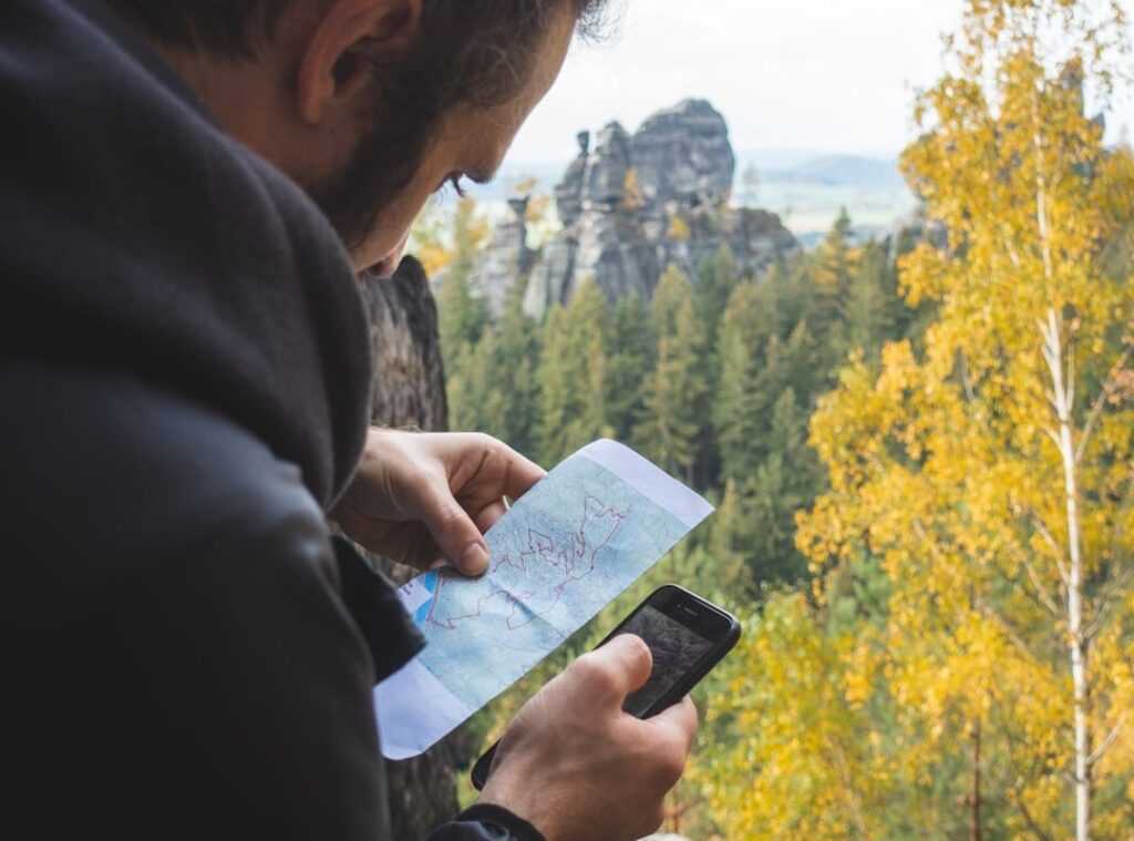
Then there are navigation apps hikers swear by, like gaia gps: offline trail maps. They offer incredible mapping features on a device you already own. But the battery drain is real, and good luck seeing the screen in bright sunlight.
Also, if you drop your phone, it might not survive the fall (pro tip: get a sturdy case).
How about GPS watches like Suunto or Coros? They’re great for quick data and breadcrumb tracking. Perfect for a glance.
But good luck using that tiny screen for detailed mapping. And if you’re on a long trip, the battery might not make it to the end. So, what’s the solution?
Power management is key. A quality power bank is your best friend. Know your device’s battery consumption like you know your coffee order.
Without it, you’re just asking for trouble. Digital tools are fantastic, but they need a little help to keep them running. Remember, these are just tools.
You still need to know how to read a map and use a compass. Because when tech fails (and it will), your skills are what will get you back home.
Your Lifeline: Emergency Beacons and Satellite Messengers
Let me set the record straight. Emergency beacons and satellite messengers aren’t your everyday navigation apps hikers use. They’re for when things go south.
You know, when you’re stuck in the middle of nowhere with no cell service. Personal Locator Beacons (PLBs) are like a one-way “panic button.” Hit it, and it sends an SOS with your location to rescue services via satellite. Simple, reliable, but not for chit-chat.
It’s a one-time deal.
Now, satellite messengers like Garmin inReach or Zoleo? They’re a different beast. They let you text back and forth with family or rescuers.
Imagine being able to get weather updates when you’re miles from civilization. These devices offer non-emergency tracking too. It’s the ultimate safety net for remote travel.
You’re not just shouting into the void; you’re having a conversation.
But don’t confuse them with traditional GPS. They’re not for plotting your next hike. That’s a job for Gps Navigation Traditional Methods Pros Cons.
This is about survival. So, what’s your move? Are you ready to rethink what gear you really need out there?
I wouldn’t hit the trails without one. Would you?
Building Your Kit: Important Tools for Every Adventure
Choosing the right gear for your trip is like prepping for a mission. You need the right tools for the job. Trust me, I’ve been caught without a map in the middle of nowhere, and it’s not fun.
Let’s break it down. Are you a day hiker? If you’re sticking to well-marked trails, you’ll want a fully charged smartphone with a pre-downloaded map, like AllTrails or Gaia.
Plus, a small power bank to keep that phone alive. But don’t just rely on tech. A paper map of the park is lightweight and won’t let you down when your phone decides to take a nap.
Weekend backpacker? You’re on established routes, so your smartphone app plus power bank combo is your go-to. But here’s the kicker: always have a physical map and compass as a backup.
And practice using them. Seriously. It’s not just for show.
Now, let me talk to you backcountry explorers. You’re off-trail and out there for days. You need a dedicated GPS or satellite messenger.
It’s your primary way to stay oriented. But a physical map and compass are non-negotiable. And don’t forget a personal locator beacon (PLB) or messenger.
These aren’t just extras; they can save your life.
Quick Reference: Loadouts
- Day Hiker (Well-Marked Trails)
- Fully charged smartphone with map apps
- Small power bank
- Weekend Backpacker (Established Routes)
- Smartphone with apps + power bank
- Physical map and compass
- Backcountry Explorer (Off-Trail, Multi-Day)
- Dedicated GPS or satellite messenger
- Physical map and compass
Choosing the right tools isn’t about having the latest gear. It’s about knowing how to use what you’ve got. Navigation apps for hikers are great, but they’re not foolproof.
So, what’s your next adventure? Make sure you’re ready.
Real-World Navigation: Habits Over Gear
Let’s be honest. Fancy gear won’t save you if your habits stink. You need to shift from just having the tools to actually knowing how to use them.
Start by frequently checking your position on the map. Not just when you’re lost (rookie mistake), but regularly. That way, you prevent getting lost in the first place.
Now, let’s talk about handrailing. It’s a simple concept: follow a linear feature like a creek. It’s like having a guiding hand.
And then there are “catching features.” These are landmarks that tell you when you’ve gone too far. Hit a major road? You’ve probably overstepped your bounds.
Practice this stuff in a low-stakes place like a local park. It’s better to mess up where you can find your way back easily. Trust me, you don’t want to be testing new tools in the middle of nowhere.
Finally, don’t ignore natural cues like the sun’s position. It’s another layer of awareness.
Navigation apps hikers love are great, but knowing these habits makes them truly effective. So, get out there and practice. Your future lost self will thank you.
Gear Up, Hit the Trail
Fear of getting lost haunts every hiker. But guess what? It’s no match for your preparation.
You’ve got the layered system: analog backups, digital tools, and that all-important emergency lifeline. You’re not just any hiker. You’re equipped.
You’re armed with confidence.
So, here’s the deal: the blueprint is crystal clear. Those navigation apps hikers swear by? They’re in your pocket, ready to guide you.
Don’t just sit there. Grab your gear, hit the trail this weekend, and make proficiency your top priority. No more hesitation.
Dive into the dirt and conquer those trails.
 Theo Zavalayana is the kind of writer who genuinely cannot publish something without checking it twice. Maybe three times. They came to curious explorations through years of hands-on work rather than theory, which means the things they writes about — Curious Explorations, Frontier Findings, Hid Terrain Expedition Techniques, among other areas — are things they has actually tested, questioned, and revised opinions on more than once.
That shows in the work. Theo's pieces tend to go a level deeper than most. Not in a way that becomes unreadable, but in a way that makes you realize you'd been missing something important. They has a habit of finding the detail that everybody else glosses over and making it the center of the story — which sounds simple, but takes a rare combination of curiosity and patience to pull off consistently. The writing never feels rushed. It feels like someone who sat with the subject long enough to actually understand it.
Outside of specific topics, what Theo cares about most is whether the reader walks away with something useful. Not impressed. Not entertained. Useful. That's a harder bar to clear than it sounds, and they clears it more often than not — which is why readers tend to remember Theo's articles long after they've forgotten the headline.
Theo Zavalayana is the kind of writer who genuinely cannot publish something without checking it twice. Maybe three times. They came to curious explorations through years of hands-on work rather than theory, which means the things they writes about — Curious Explorations, Frontier Findings, Hid Terrain Expedition Techniques, among other areas — are things they has actually tested, questioned, and revised opinions on more than once.
That shows in the work. Theo's pieces tend to go a level deeper than most. Not in a way that becomes unreadable, but in a way that makes you realize you'd been missing something important. They has a habit of finding the detail that everybody else glosses over and making it the center of the story — which sounds simple, but takes a rare combination of curiosity and patience to pull off consistently. The writing never feels rushed. It feels like someone who sat with the subject long enough to actually understand it.
Outside of specific topics, what Theo cares about most is whether the reader walks away with something useful. Not impressed. Not entertained. Useful. That's a harder bar to clear than it sounds, and they clears it more often than not — which is why readers tend to remember Theo's articles long after they've forgotten the headline.